The client portal
Request, watch, download. One place.
No email chains, no guessing where your project stands. Sign in with a one-time code and everything, your drawn area, live progress and finished data, is on the map.
01
Draw your areaSearch your site, trace the boundary, and watch the hectares update live.
02
We fly & processFollow each stage, booking, deposit, flight, processing, in real time as it happens.
03
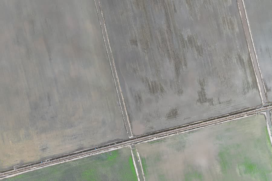
Download your dataOrthomosaics, reports and 3D models land in your portal, ready to pull.
It takes two minutes to draw your site — your personal quote arrives ready to accept.